Does the world need another weater app? No, but aviation photographers and spotters do.
Dew point spread, gust gap, sunshine duration — the metrics that determine whether a shoot is worth the drive, in one simple app. No API keys, no accounts, no learning curve. Built by an aviation photographer from years of field experience.
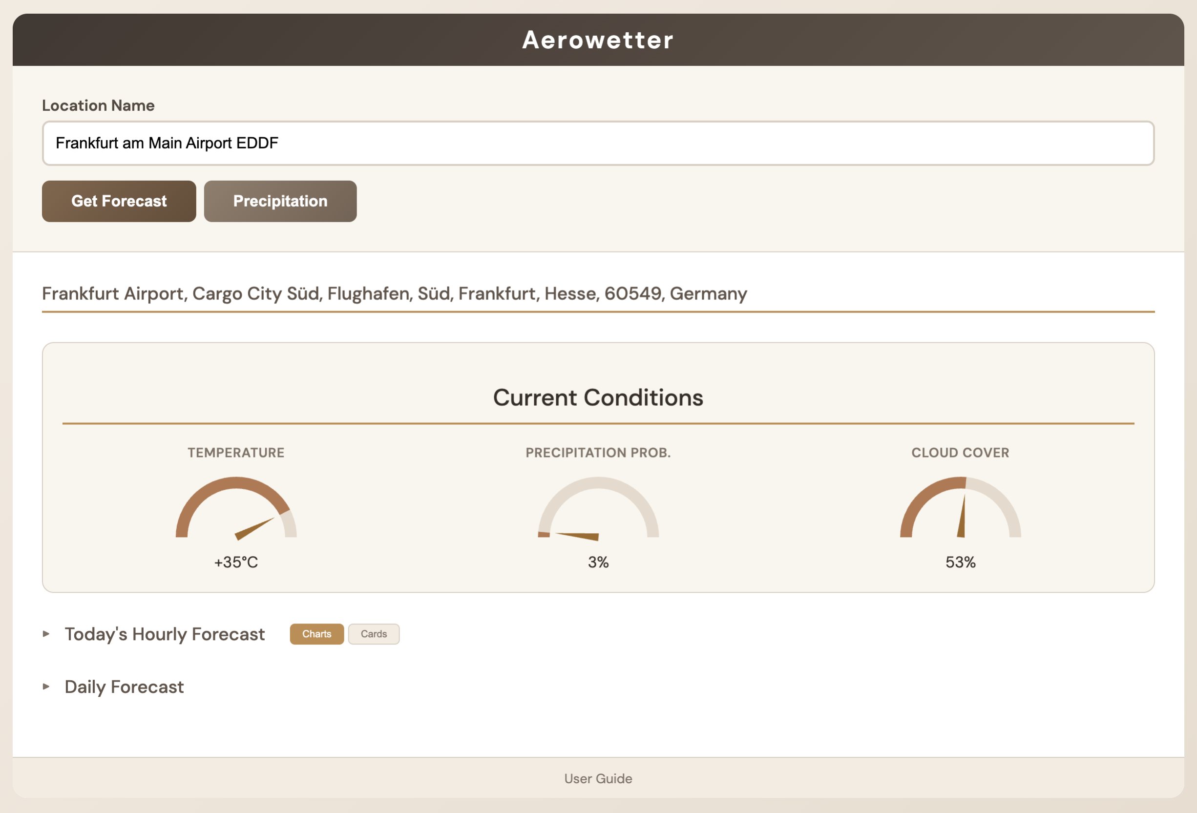
Hourly & daily forecasts
Interactive bar charts for every hour, plus a 6-day outlook with the full detail behind each number.
Analog gauges
Key factors displayed as gauges you can read at a glance.
Precipitation radar
A radar overlay powered by LibreWXR shows rain and snow moving over your location in real time.
No API keys
Weather from Open-Meteo and geocoding from Nominatim — free, open, and registration-free.
Desktop and web
Alongside the macOS and Linux apps, Aerowetter runs as a web app on practically any server, so it's available from any device.
Privacy first
No tracking, no analytics, no accounts. Your location queries stay local.
Pay once, keep it
No subscription. One low price for every device you own, with free updates.
Aviation photography and weather
Why do airplane photographers watch metrics most people ignore? Each one directly affects your odds of a sharp, well-composed frame.
Dew point spread
The gap between temperature and dew point is a reliable haze and fog predictor. A spread below 3°C means near-saturation: expect morning fog at the airfield and lens condensation. Above 10°C means dry, crisp air ideal for sharp telephoto shots. General weather reports rarely explain why dew point matters for long-lens photography.
Atmospheric pressure
Unlike casual weather checks, aviation photographers track pressure trends across days. Rising pressure (e.g. 1005 → 1010 → 1016 hPa) signals clearing weather and dropping wind — ideal. A sharp fall (>5 hPa in 24 hours) warns of an approaching storm front. Steady high pressure above 1020 hPa usually means settled, prime conditions.
Gusts vs. sustained speed
The gap between sustained wind and gusts reveals air turbulence. A small gap means steady wind; a large gap (e.g. 5 m/s sustained with 12 m/s gusts) means your will have difficulty with keeping the camera steady. General weather apps show wind speed but rarely highlight this difference.
Visibility & heat haze
Visibility below 5 km ruins long-telephoto sharpness. High humidity (>70%) combined with warm temperatures creates heat haze over runways, destroying detail in approach shots. The only fix is getting closer, with a shorter focal length, or waiting for cooler, drier conditions. Standard forecasts rarely interpret visibility data for photography use.
Cloud cover context
Total cloud cover percentage alone is misleading. 60% broken clouds can create dramatic skies at sunset, while 60% solid stratus means flat, dull light all day. Aviation photographers need the cloud type: high scattered clouds add depth; low overcast makes aircraft disappear on approach. Look beyond the percentage.
Sunshine duration
A day with 80% cloud cover but 5 hours of sunshine has usable windows you can plan around. A day with 95% cover and 0.2 hours of sun is grey from dawn to dusk. Combined with sunrise and sunset times, sunshine duration helps you pick the right window for golden-hour photography — a metric most weather services skip entirely.
Quick checklist
- Conditions badge — fog, heavy rain, or thunderstorm? Probably not worth venturing out.
- Visibility — below 5 km? Bringing a telezoom lens doesn't make sense.
- Wind gusts — gusts above 11 m/s make hand-held photography challenging.
- Dew point spread — below 3°C? Expect haze, fog, or lens condensation. Pack accordingly.